


Vintage Upper Canada Map Print from 1839 on Archival Paper
Vintage Upper Canada Map Print from 1839 on Archival Paper
Couldn't load pickup availability
Share
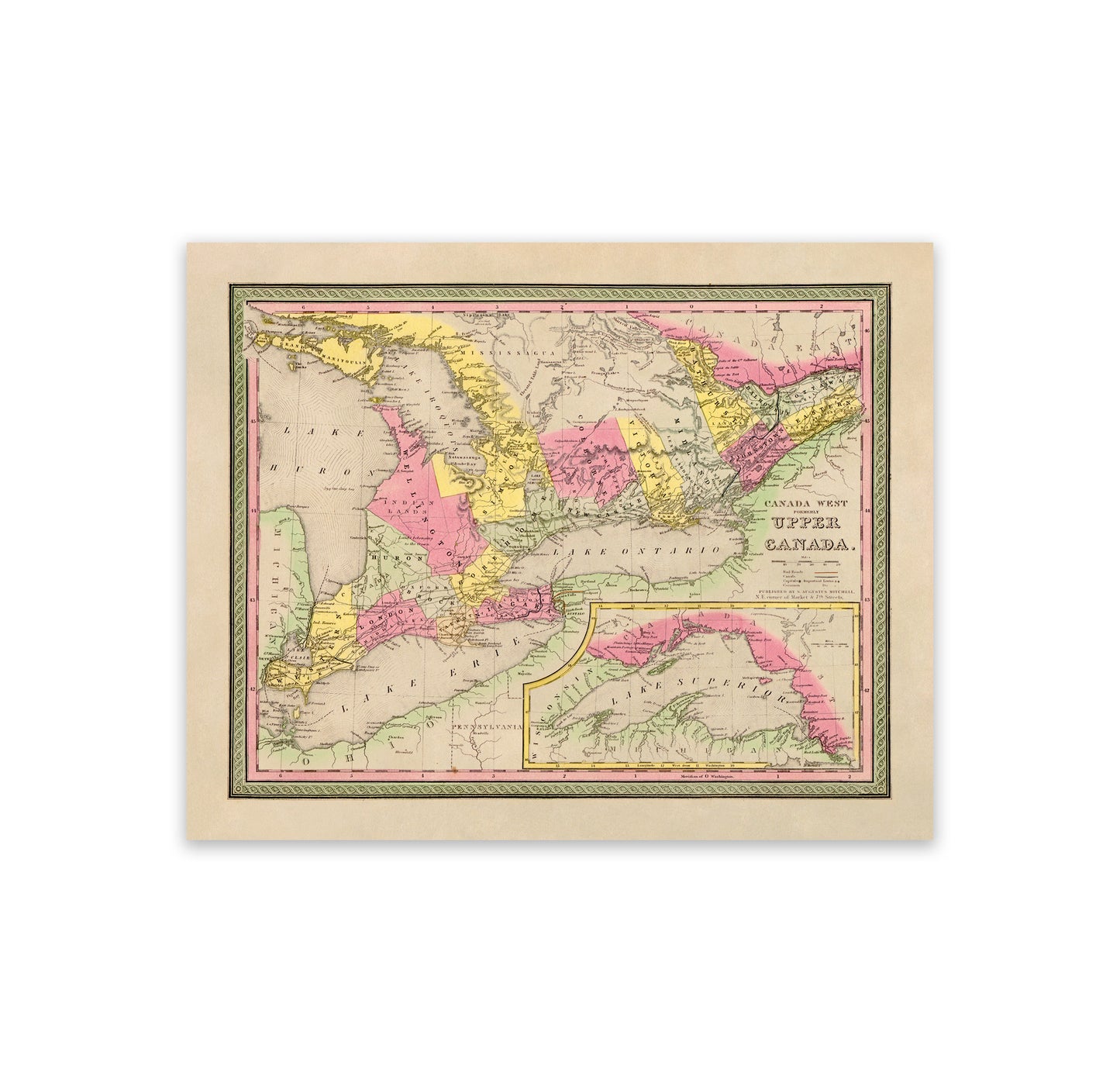
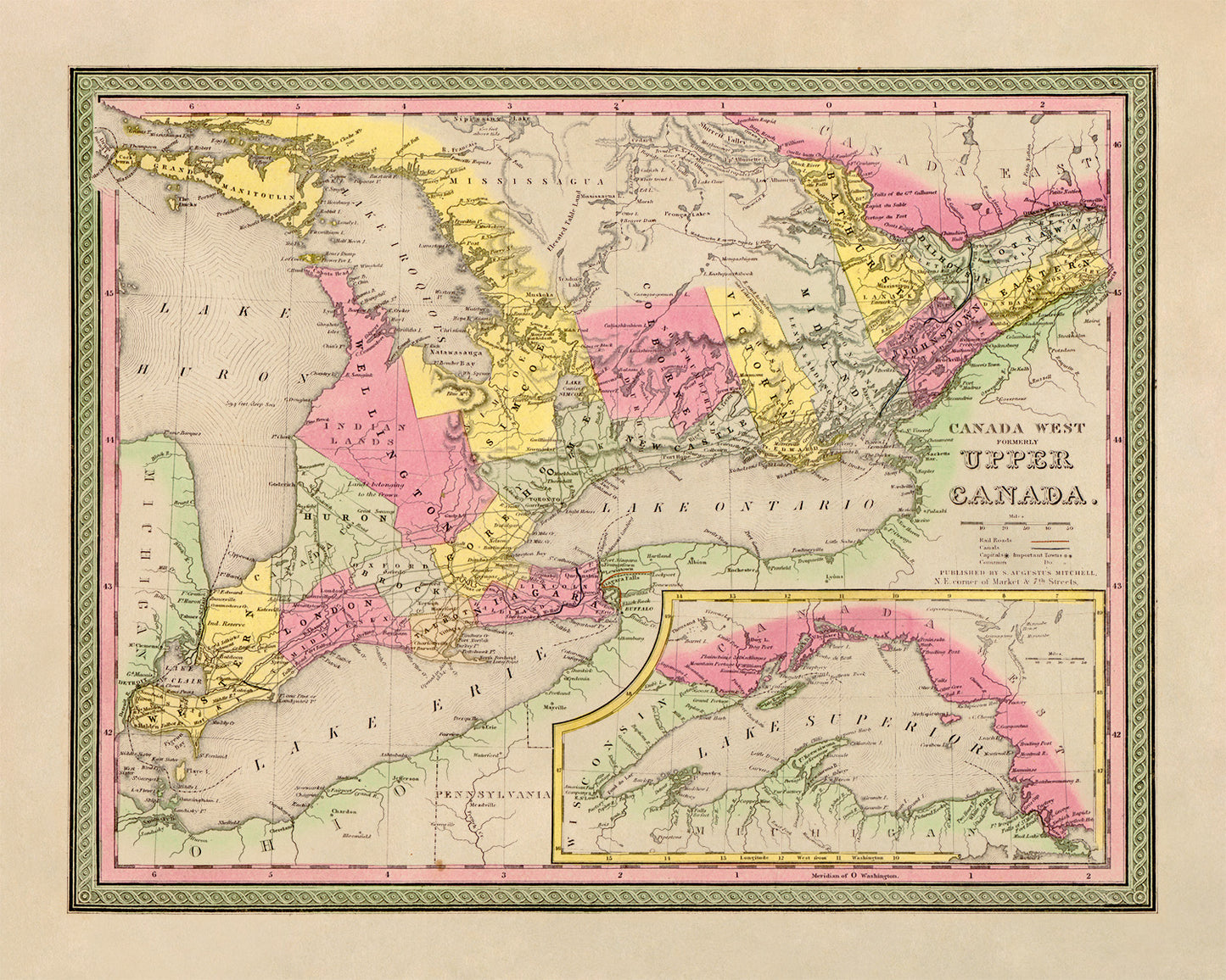
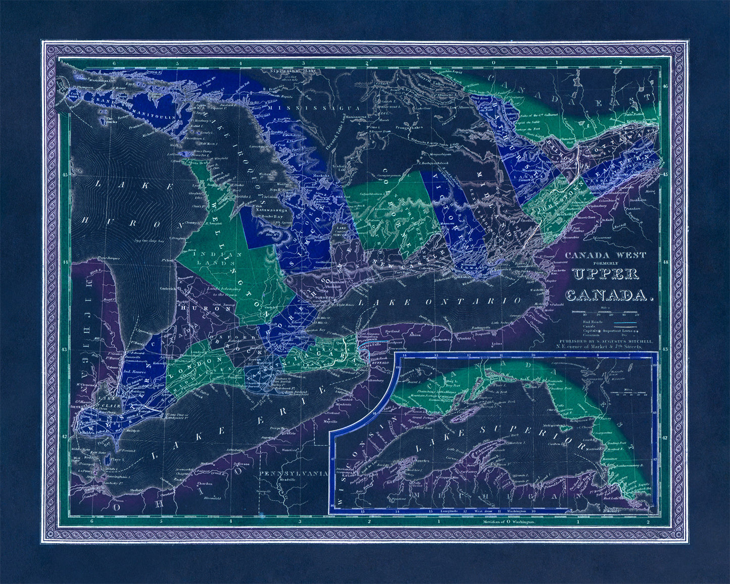
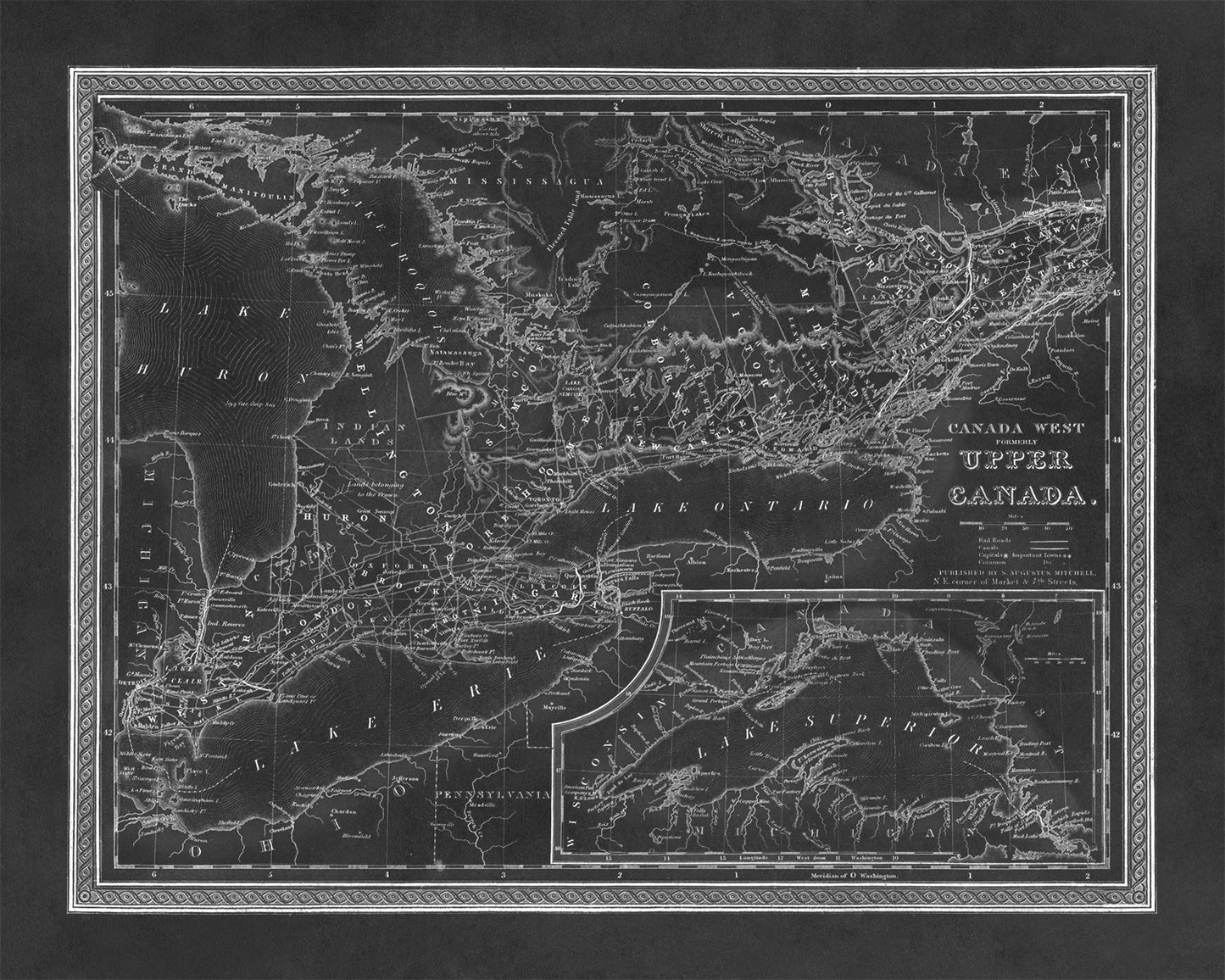
Upper Canada Map
Old World Atlas, Circa 1839
This vintage style print features an old world map depicting Upper Canada. Visible are many Canadian regions, cities and towns.
DETAILS
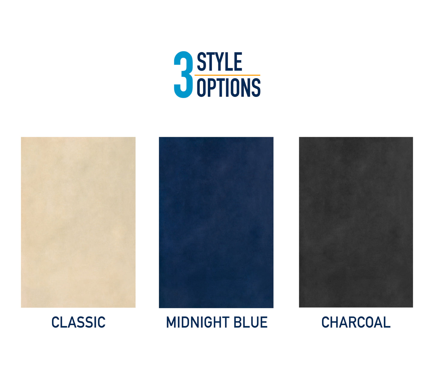
• 3 Color Options: Classic, Midnight Blue and Charcoal.
• Printed on a smooth enriched archival paper with a matte finish.
• Printed to order using archival pigmented inks on acid free materials.
-
About The Artwork
This print is a reprint of a vintage artwork, while we retouch each image; some blemishes, age marks and other imperfections are left intact to preserve the originality of the piece. Note: Colors may slightly vary depending on the settings of your computer monitor.
-
Print Size & Customization
We offer multiple popular print sizes however, if you require a size not listed please don't hesitate to ask. Our goal is to provide you with a beautiful full-scale image printed to the size you desire. For each order the original image is adjusted to fit the size you have requested exactly.
-
Shipping
All prints ship free via USPS with tracking. Your print will arrive rolled in a durable photo tube. Small prints (8x10, 5x7) ship flat in a sturdy cardboard mailer.
-
Returns
Returns and exchanges accepted. For a full refund send the prints back to us within 30 days of delivery. For order cancellations please request within 24 hours of purchase.